WEDNESDAY – 13. SEPTEMBER 2023 – 3DGEOINFO CONFERENCE
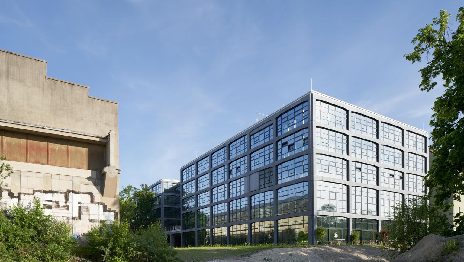
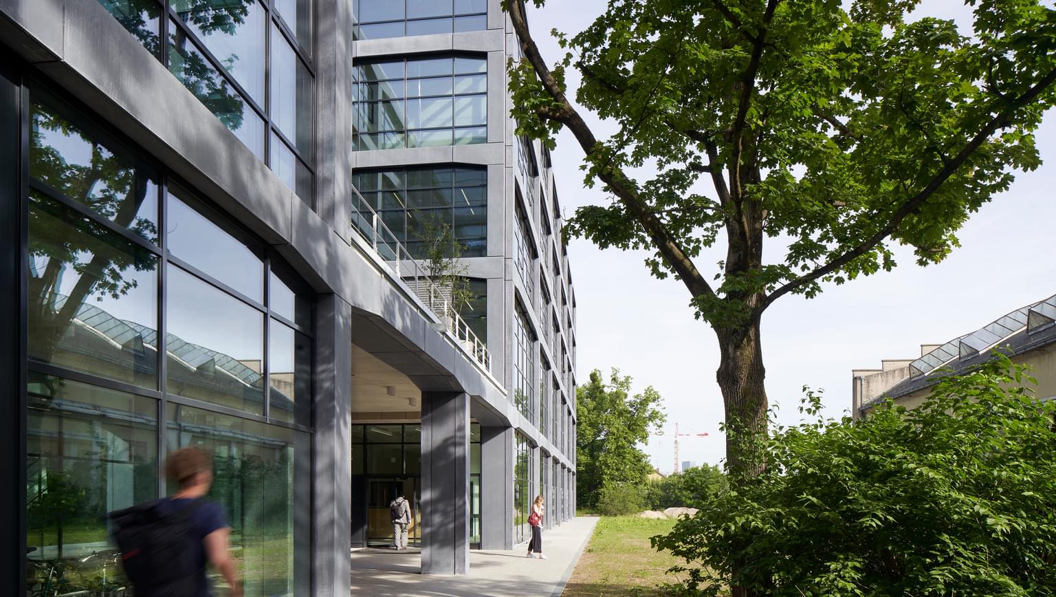
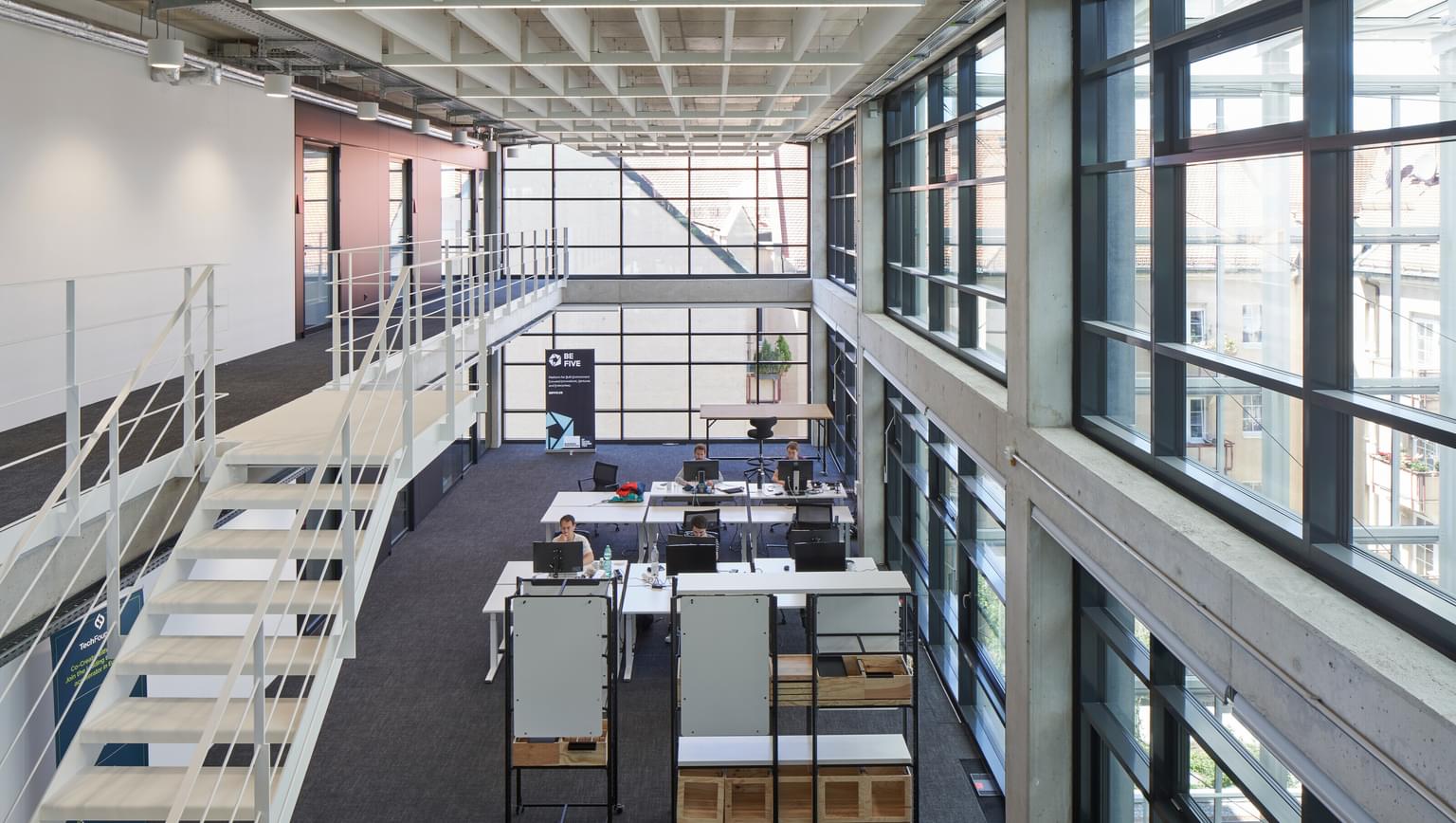
@TUM, Garching – Informatics Department – Boltzmannstraße 3, Munich
|
07:30 – 08:30 | CONFERENCE REGISTRATION @TUM GARCHING |
08:30 – 09:30 | INTRODUCTORY SESSION
Location: HS1 (Hörsaal 1) |
| | Opening (Thomas H. Kolbe, Conference Chair) |
| | Welcome address (Werner Lang, Vice President of Technical University of Munich for Sustainable Transformation) |
| | KEYNOTE
Project PLATEAU – The Initiative of Digital Twin in Japan
(Yuya Uchiyama, Director for IT Strategy and Coordination and the PLATEAU project, MLIT, Japan) |
09:30 – 10:00 | MORNING COFFEE/TEA BREAK |
10:00 – 11:45 | PRESENTATIONS – Morning Session (Session 1) |
| | Track A – Applications of 3D City Models and Digital Twins (D1-S1-A)
Location: HS1 (Hörsaal 1)
Chair: Giorgio Agugiaro | Track B – 3D Point Cloud Processing and Analysis (D1-S1-B)
Location: HS2 (Hörsaal 2)
Chair: Lucía Díaz Vilariño |
| | Recommendation for vegetation information in semantic 3D city models in urban planning applications. (Pantazatou, Karolina; Kanters, Jouri; Mattisson, Kristoffer; Olsson, Per-Ola; Harrie, Lars) | Efficient In-Memory Point Cloud Query Processing. (Teuscher, Balthasar; Geißendörfer, Oliver; Luo, Xuanshu; Li, Hao; Anders, Katharina; Holst, Christoph; Werner, Martin) |
| | Shadowing calculation on urban areas from Semantic 3D City Models. (Xu, Longxiang; Leon Sanchez, Camilo; Agugiaro, Giorgio; Stoter, Jantien) | Transferring façade labels between point clouds with semantic octrees while considering change detection (Schwarz, Sophia; Pilz, Tanja Sophie; Wysocki, Olaf; Hoegner, Ludwig; Stilla, Uwe) |
| | Supporting teleoperated humanitarian aid missions with 3D visualization using remote sensing data. (Angermann, Lucas Dominik; Halbgewachs, Magdalena Felicitas; Lechner, Konstanze) | Investigating Data Fusion from Three Different Point Cloud Datasets by using Iterative Closest Point (ICP) Registration. (Mutiarasari, Wahyu M.; Rahman, M. Z. Abd; Abdul Rahman, Alias) |
| | Solid Waste in the Virtual World: A Digital Twinning Approach for Waste Collection Planning. (Cárdenas, Iván; Koeva, Mila; Davey, Calayde; Nourian, Pirouz) | Sensing heathland vegetation structure from Unmanned Aircraft System Laser Scanner: Comparing sensors and flying heights. (Homainejad, Nina; Winiwarter, Lukas; Hollaus, Markus; Zlatanova, Sisi; Pfeifer, Norbert) |
| | Automatically evaluating the service quality of bicycle paths based on semantic 3D city models. (Beil, Christof; Ilic, Mario; Keler, Andreas; Kolbe, Thomas H.) | Comparison of point distance calculation methods in point clouds – Is the most complex always the most suitable? (Diaz, Vitali; van Oosterom, Peter; Meijers, Martin; Verbree, Edward; Ahmed, Nauman; van Lankveld, Thijs) |
11:45 – 13:00 | LUNCH |
13:00 – 14:45 | PRESENTATIONS – Afternoon Session (Session 2) |
| | Track A – VR / AR and Visualization (D1-S2-A)
Location: HS1 (Hörsaal 1)
Chair: Jacynthe Pouliot | Track B – Indoor / Outdoor Modelling and Navigation (D1-S2-B)
Location: HS2 (Hörsaal 2)
Chair: Jörg Blankenbach |
| | Virtual Reality experience analysis from Point Cloud Data. (Aneiros Egido, Diego; Balado Frías, Jesús; Tran, Ha; Díaz Vilariño, Lucía) | RGB-D Semantic Segmentation for Indoor Modeling Using Deep Learning: A Review. (Rached, Ishraq; Hajji, Rafika; Landes, Tania) |
| | Visualisation of 3D Uncertainties for Subsurface Infrastructure using Augmented Reality. (Vinther, Simon Quaade; Kunnerup, Frida Dalbjerg; Bodum, Lars; Hansen, Lasse Hedegaard; Wyke, Simon) | A framework for generating IndoorGML data from omnidirectional images. (Kim, Misun; Lee, Jeongwon; Lee, Jiyeong) |
| | Immersive virtual reality to verify the as-built state of electric line networks in buildings. (Knechtel, Julius; Li, Weilian; Orgeig, Yannick; Haunert, Jan-Henrik; Dehbi, Youness) | Deep Adaptive Network for WiFi-based Indoor Localization. (Ahmad, Afnan; Sohn, Gunho) |
| | 3D Data Mapping with Augmented Reality. (Lee, Ming-Chun) | MoLi-PoseGAN: Model-based Indoor Relocalization using GAN and Deep Pose Regression from Synthetic LiDAR Scans. (Zhao, Hang; Tomko, Martin; Khoshelham, Kourosh) |
| | Creating a 3D Multi-Dataset Bubble in Support of OGC Testbed-19 and Metaverse Standards Prototypes. (Clarke, James; Smyth, Steve; Smith, Rob; Morley, Jeremy) | Digital Twins: Simulating Robot-Human Sidewalk Interactions. (Hassan, Ali; Usman, Muhammad; Kremer, Melissa; Yang, Seungho; Luubert, Micheal; Faloutsos, Petros; Hall, Brent G.; Sohn, Gunho) |
14:45 – 15.15 | AFTERNOON COFFEE/TEA BREAK |
15:15 – 17:00 | PRESENTATIONS – Evening Session (Session 3) |
| Track A – GIS / BIM Integration (D1-S3-A)
Location: HS1 (Hörsaal 1)
Chair: Ihab Hijazi | Track B – 3D Data Modelling and Topology (D1-S3-B)
Location: HS2 (Hörsaal 2)
Chair: Claire Ellul |
| | Assessment of the LoD specification for the integration of BIM-derived building models in 3D city model. (Vaart, Jasper van der; Stoter, Jantien; Diakité, Abdoulaye; Biljecki, Filip; Ohori, Ken Arroyo; Hakim, Amir) | A Level of as-is Detail Concept for Digital Twins of Roads – Case Study. (Crampen, David; Hein, Marcel; Blankenbach, Jörg) |
| | IFC georeferencing for OSM. (Tauscher, Helga; Heigener, Dominik; Krishnakumar, Subhashini; Graichen, Thomas; Schmidt, Rebecca; Richter, Julia) | Digital geoTwin: a CityGML-based data model for a virtual replica of the City of Vienna. (Lehner, Hubert; Kordasch, Sara Lena; Glatz, Charlotte; Agugiaro, Giorgio) |
| | Merging BIM, Land Use and 2D Cadastral Maps into a Digital Twin Fit-for-Purpose Geospatial Infrastructure. (Andritsou, Dimitra; Soile, Sofia; Potsiou, Chryssy) | A Hierarchy of Levels of Detail for 3D Utility Network Models. (Chen, Zihan; Pouliot, Jacynthe; Hubert, Frédéric) |
| | Artificial Intelligence for the automated creation of multi-scale digital twins of the built world – AI4TWINNING. (Borrmann, André; Biswanath, Manoj; Braun, Alex; Chen, Zhaiyu; Cremers, Daniel; Heeramaglore, Medhini; Hoegner, Ludwig; Mehranfar, Mansour; Kolbe, Thomas; Petzold, Frank; Rueda, Alejandro; Solonets, Sergei; Zhu, Xiao Xiang) | Topological representation of a 4D cell complex and its dual–feasibility study. (Boguslawski, Pawel) |
| | Development of a Geo to BIM converter: CityJSON importer plugin for Autodesk Revit. (Hakim, Amir; van der Vaart, Jasper; Ohori, Ken Arroyo; Stoter, Jantien) | 3D Topology Rules Implementation in Spatial Database. (Salleh, Syahiirah; Ujang, Uznir; Azri, Suhaibah) |
19:00 Onwards | CONFERENCE DINNER
@Augustiner Stammhaus, Neuhauser Str. 27, Munich City Center. |
| | The 3DGeoInfo Journey from 2006 to 2022 – A Reflection (Alias Abdul Rahman) |
| | Presentation of Awards (Thomas H. Kolbe) |